Rendered at 00:28:23 01/02/25
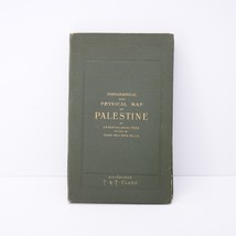
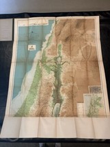
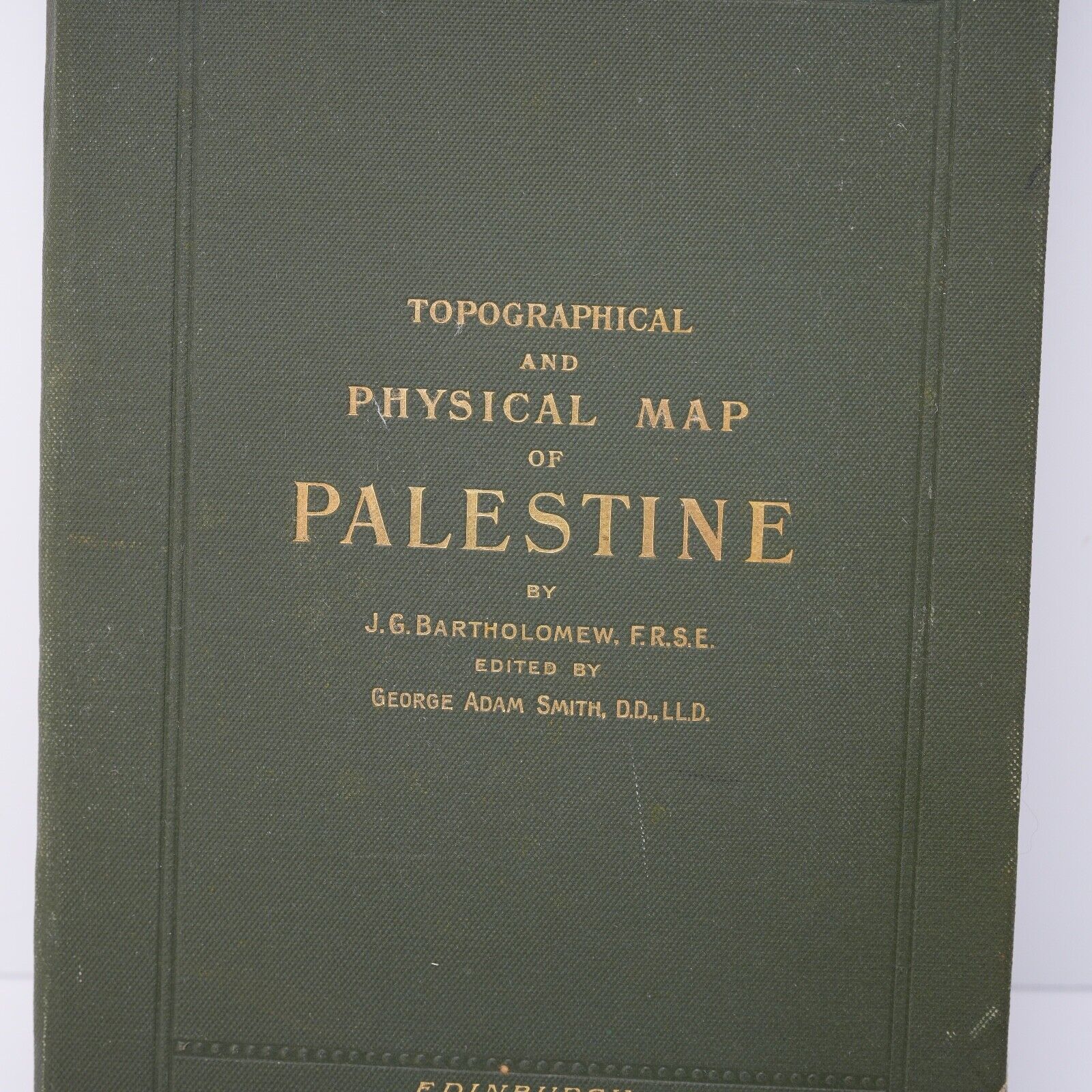
Topographical & Physical Map of Palestine Holy Land Antique ~1900s Bartholomew
$125.00
Shipping options
Return policy
None: All purchases final
Purchase protection
Payment options
PayPal accepted
PayPal Credit accepted
Venmo accepted
PayPal, MasterCard, Visa, Discover, and American Express accepted
Maestro accepted
Amazon Pay accepted
Shipping options
Return policy
None: All purchases final
Purchase protection
Payment options
PayPal accepted
PayPal Credit accepted
Venmo accepted
PayPal, MasterCard, Visa, Discover, and American Express accepted
Maestro accepted
Amazon Pay accepted
Item traits
| Category: | |
|---|---|
| Quantity Available: |
Only one in stock, order soon |
| Condition: |
Used |
| Type: |
Physical Map |
| Original/Reproduction: |
Antique Original |
| Date Range: |
1900-1909 |
| Year: |
1901 |
| Format: |
Sheet Map |
| State: |
Palestine |
| City: |
Palestine |
| Country/Region: |
Palestine |
| County: |
Palestine |
Listing details
| Seller policies: | |
|---|---|
| Shipping discount: |
Shipping weights of all items added together for savings. |
| Price discount: |
5% off w/ $100.00 spent |
| Posted for sale: |
More than a week ago |
| Item number: |
1629965647 |
Item description
Added to your wish list!

- Topographical & Physical Map of Palestine Holy Land Antique ~1900s Bartholomew
- 1 in stock
- Handling time 1 day. Estimated delivery: Wed, Jan 8th
Get an item reminder
We'll email you a link to your item now and follow up with a single reminder (if you'd like one). That's it! No spam, no hassle.
Already have an account?
Log in and add this item to your wish list.


