1942 USGS Copper Printing Map Plates Peola, and similar items
1942 USGS Copper Printing Map Plates Peola, WA set of 3 Topographic Survey
$2,250.00
View full item details »
Shipping options
Offer policy
OBO - Seller accepts offers on this item.
Details
Return policy
Full refund available within 30 days
Purchase protection
Payment options
PayPal accepted
PayPal Credit accepted
Venmo accepted
PayPal, MasterCard, Visa, Discover, and American Express accepted
Maestro accepted
Amazon Pay accepted
Nuvei accepted
Item traits
| Category: | |
|---|---|
| Quantity Available: |
Only one in stock, order soon |
| Condition: |
Unspecified by seller, may be new. |
| Type: |
Topographical Map |
| Original/Reproduction: |
Antique Original |
| Country/Region: |
United States of America |
| US State: |
Washington |
| Printing Technique: |
Copper Plate |
Listing details
| Shipping discount: |
Shipping weights of all items added together for savings. |
|---|---|
| Posted for sale: |
More than a week ago |
| Item number: |
1559231110 |
Item description
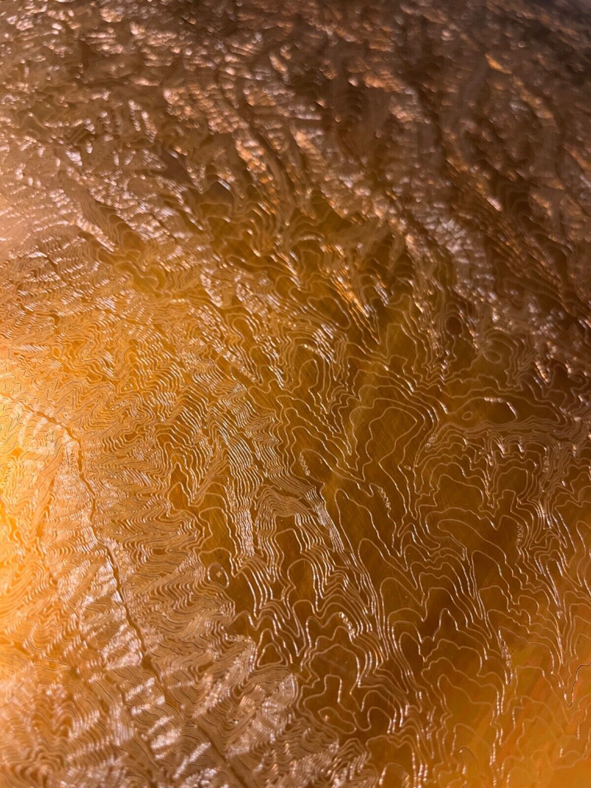
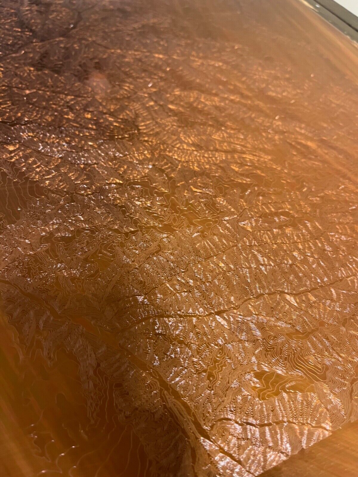
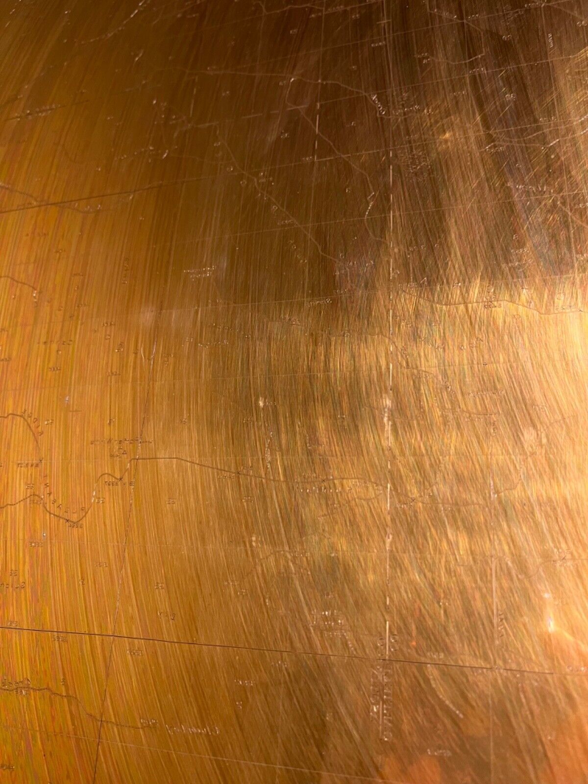
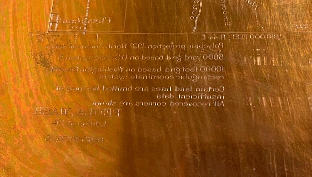
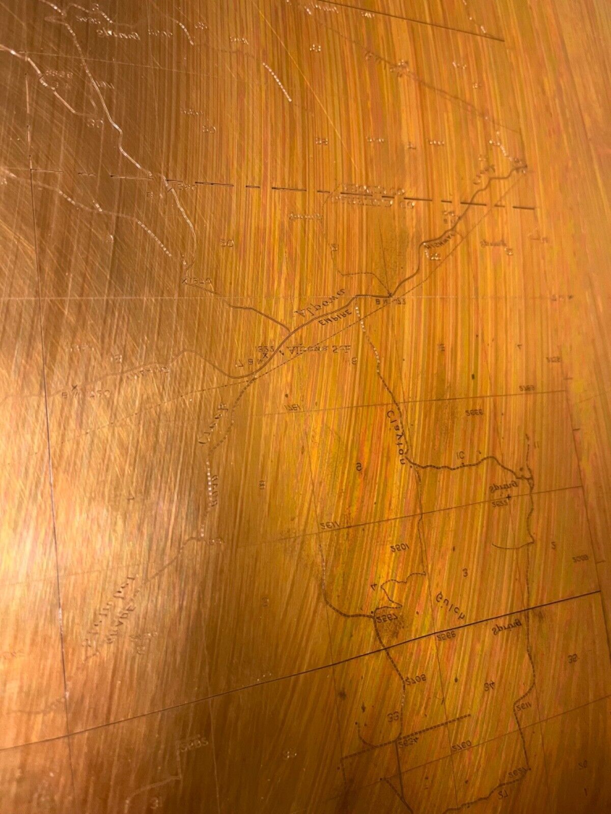
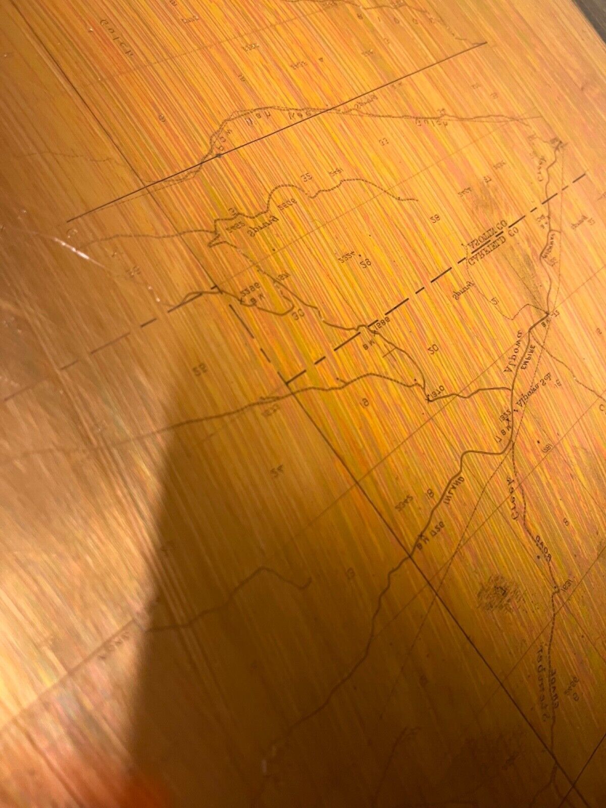
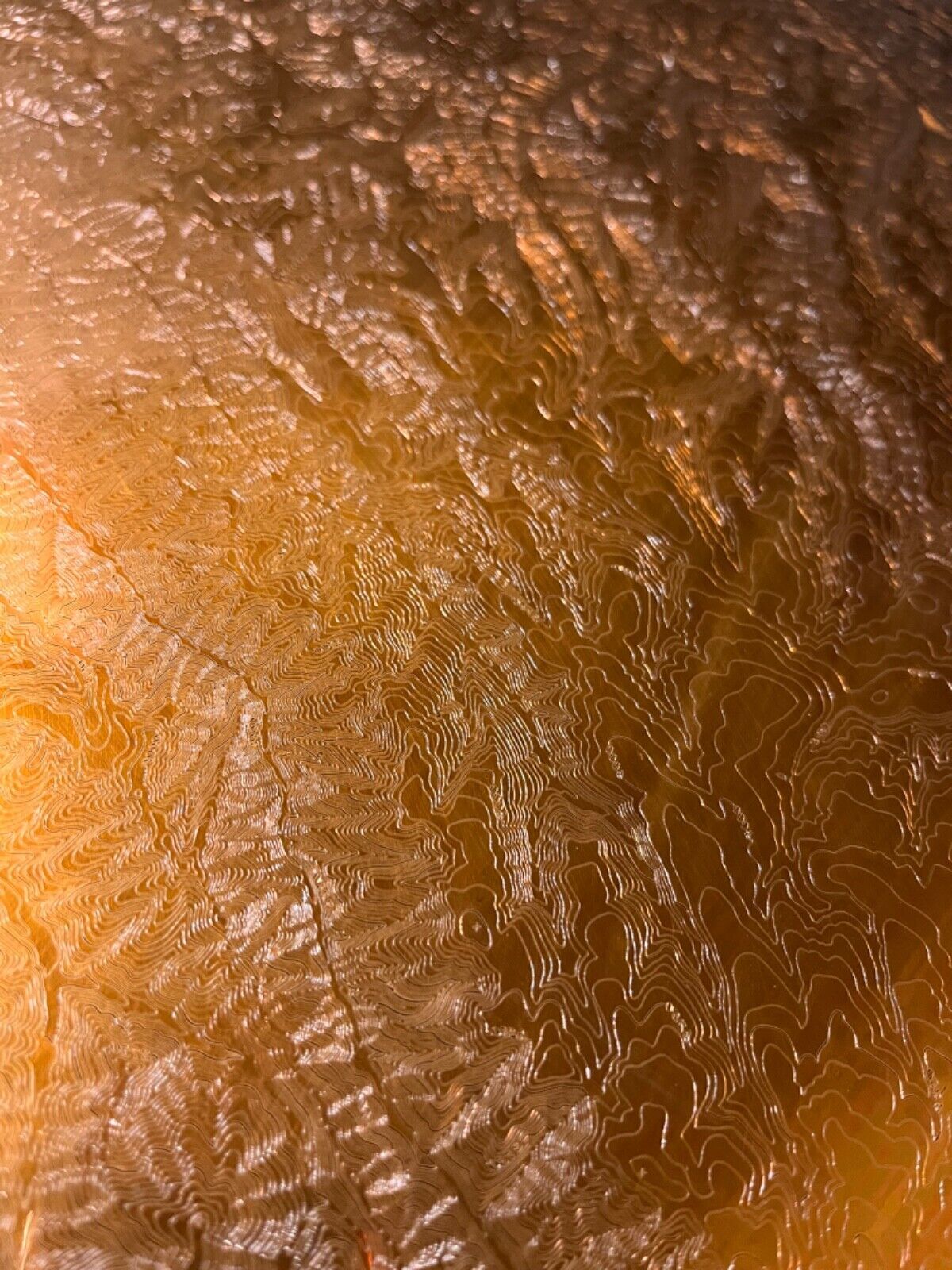
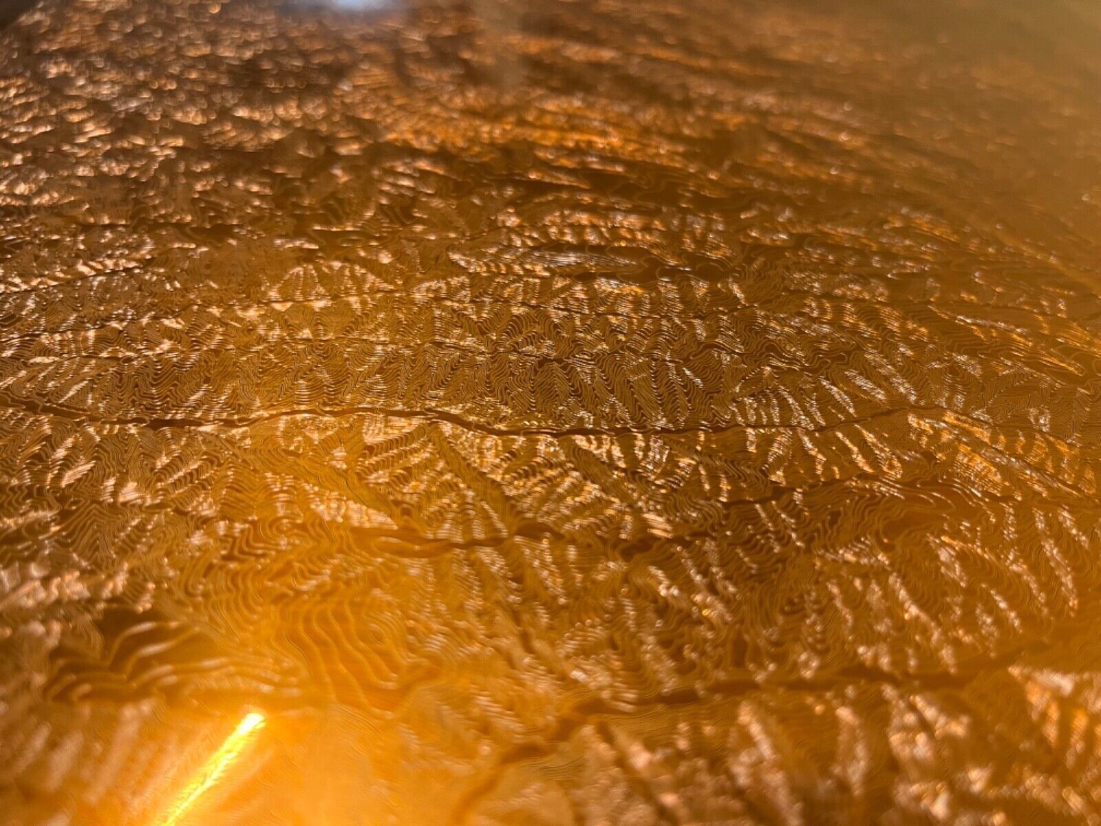
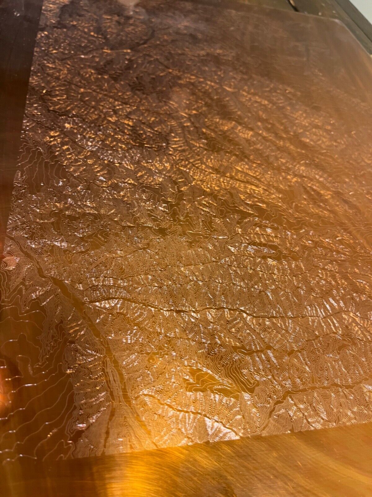
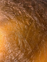
Listing is for one complete Set of 3 USGS copper plates
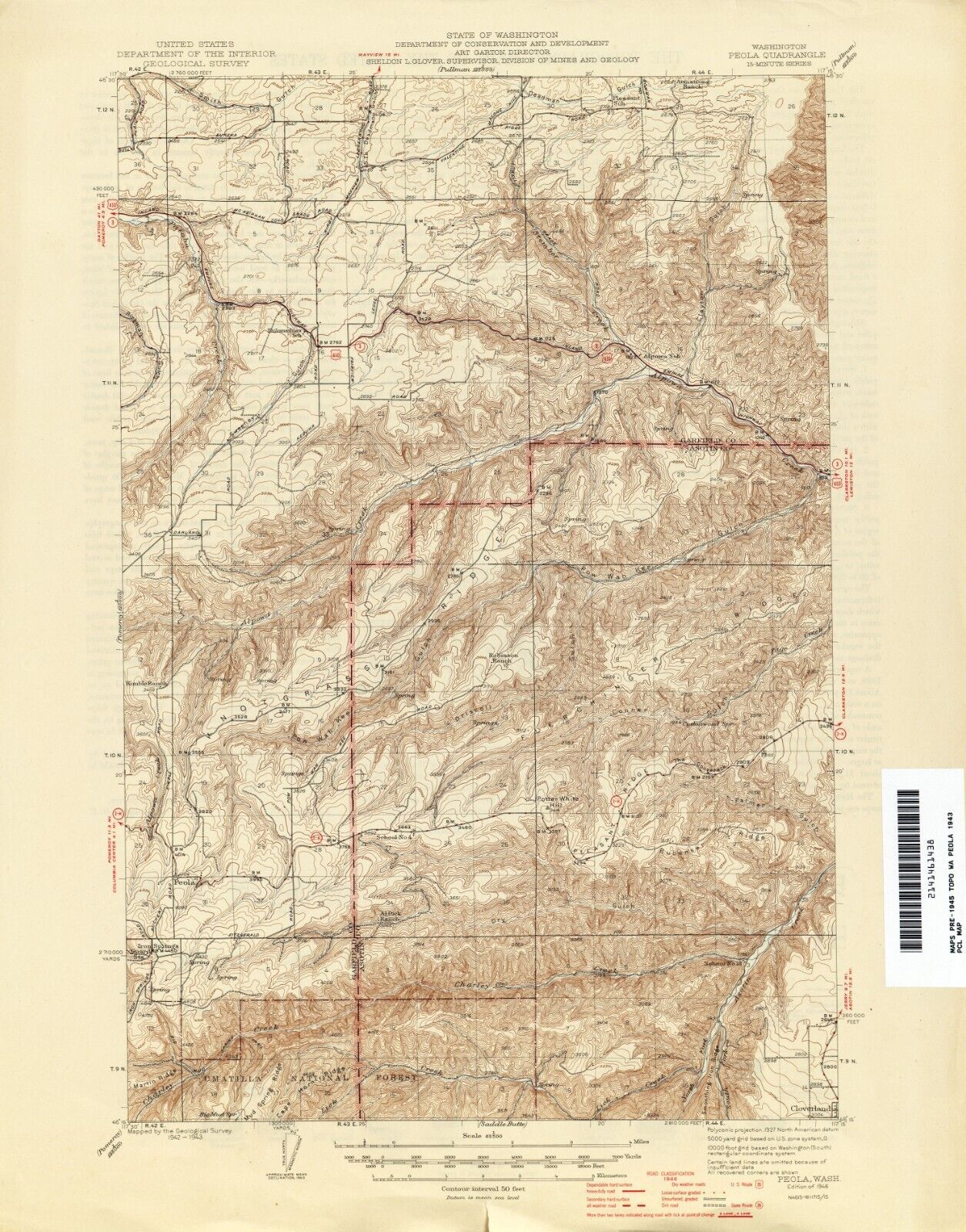
Peola, WA
Surveyed in 1927, Map etched in 1942
scale is 1:62,500
each plate weighs 12.5lbs and measures 17" by 21"
One of a kind Antique
History
The last picture is a print of the 3 plates combine to make a single map.
A Brief History of the Plates and USGS Map printing
From the 1880s to the 1950s, the U. S. Geological Survey used engraved heavy copper plates in the process of printing many thousands of topographic and geographic quadrangle maps at several map scales.
The Printing Process ? From Plates to Paper
A complicating aspect of this historical USGS printing process is that prints were not directly made from the plates. USGS transferred the image from the engraved plate to a special lithographic stone in order to make large numbers of prints, an approach that preserved the crispness of the engraving. Otherwise, the accuracy of the engraving would have been lost due to the repeated pressure required to transfer the image directly from the plate to each paper copy.
For printing purposes, the copper engravings were mirror images (left-to-right reversed). Etched by a USGS cartographic technician called a ?map engraver,? the words and text characters are backwards. For maps, ?east? appears on the left side of the plate instead of the right as it does on the printed map.
The engraving plates for a topographic map were color-separated in a set; that is, there was a plate for each color of ink to be printed. A typical topographic quadrangle map had a set of three plates: a black ink plate for cultural features, boundaries, and most of the text; a blue inked plate for hydrography; and a brown ink plate for topographic contours.
Loading
This item has been added to your cart
 1942 USGS Copper Printing Map Plates Peola, WA set of 3 Topographic Survey added to cart.
Only one available in stock
1942 USGS Copper Printing Map Plates Peola, WA set of 3 Topographic Survey added to cart.
Only one available in stock
View Cart or continue shopping.
 Please wait while we finish adding this item to your cart.
Get an item reminder
We'll email you a link to your item now and follow up with a single reminder (if you'd like one). That's it! No spam, no hassle.
Already have an account?
Log in and add this item to your wish list.